Mission Wells and the Settling Basin
Havana and Bleeker Streets, Sylmar – map
Declared: 5/10/67
Oh, man. If you thought the last landmark was Dullsville, you may want to click here for something more interesting and get away from No. 50 as soon as possible.
In the late 1700s, Padre Fermín Francisco de Lasuén and his brethren were trying to figure out where they wanted to build Mission San Fernando Rey de España (the San Fernando Mission). The discovery of natural swamplands in what is now this area in Sylmar is one of the things that helped push the decision to build the mission on the nearby conveniently named San Fernando Mission Boulevard.
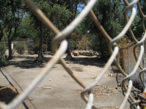
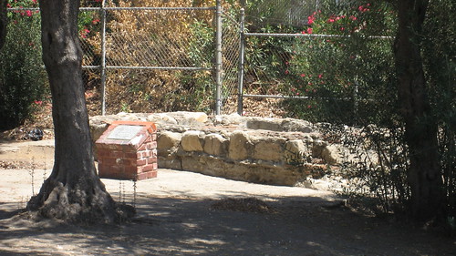
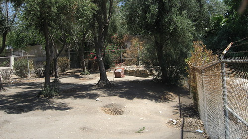
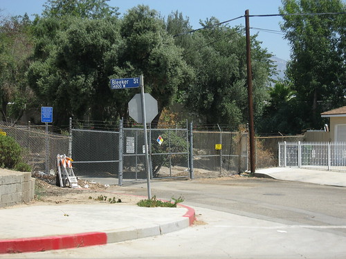
If you go there today, you’ll find the site is owned by the Los Angeles Department of Water and Power, which has the remaining landmarked well (there could be others, I guess) fenced off. When I went, I asked a DWP worker if I could sneak in a few feet to get a shot of the plaque by the well visible through the chain-link fence. He asked his nearby supervisor who mustered a shake of the head, indicating ‘no’.
And don’t ask me what area the ‘Settling Basin’ encompasses specifically, because I don’t know.
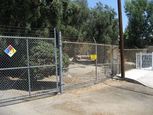
I apologize for not getting any good pictures of this Historic-Cultural landmark. As a salve, I arranged what shots I did get in the order of closest to furthest. This way, you can pretend you’re slowly backing away from the site, just like I did in person.
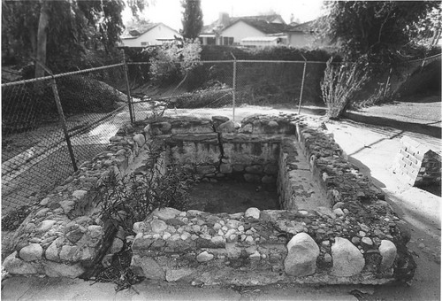
Oh. Here’s a legitimate shot of the same visible remaining well. It’s from the city’s Department of City Planning website.
Nice neighborhood, by the way.
Up next: Phillips House
continue reading...
